About the NFIP (National Flood Insurance Program)
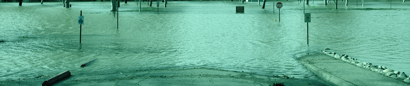
Your standard homeowners insurance doesn’t cover flooding. In 1968, Congress created the National Flood Insurance Program (NFIP) to help provide a means for property owners to financially protect themselves. The NFIP offers flood insurance to homeowners, renters, and business owners if their community participates in the NFIP. Participating communities agree to adopt and enforce ordinances that meet or exceed FEMA requirements to reduce the risk of flooding.
The Basics
By now you probably know that only flood insurance covers flood damage, but you probably don’t know all of the details. Here are a few of the more frequently flood related terms.
Understanding Flood Areas
Flooding can happen anywhere, but certain areas are especially prone to serious flooding. To help communities understand their risk, Flood Insurance Rate Maps (FIRMs) have been created to show the locations of high-risk, moderate-to-low risk, and undetermined-risk areas. Here are the definitions for each.
Zone Definitions
Definition of FEMA Flood Zone Designations: Flood zones are geographic areas that the FEMA has defined according to varying levels of flood risk. These zones are depicted on a community’s Flood Insurance Rate Map or Flood Hazard Boundary Map. Each flood zone reflects the severity or type of flooding in the area.
What to Do Before, During, and After a Flood
Before: Educate Yourself, After getting flood insurance, there are several things you can do to minimize losses in your home and ensure your family’s safety.
During: Protect Yourself and Your Home: Here’s what you can do to stay safe during a flood.
After: As soon as floodwater levels have dropped, it’s time to start the recovery process. Here’s what you can do to begin restoring your home.
Elevation Certificates
A certificate that verifies the elevation data of a structure on a given property relative to the ground level. The Flood Elevation Certificate is an important tool of the National Flood Insurance Program (NFIP). It is used to certify building elevations in order to determine the proper flood insurance premium rate for the building or to support a request for a map amendment.
Flood Maps
Determining the Risk: To identify a community’s flood risk, FEMA conducts a flood insurance study. The study includes statistical data for river flow, storm tides, hydrologic/hydraulic analyses, and rainfall and topographic surveys. FEMA uses this data to create the flood hazard maps that outline your community’s different flood risk areas.
Grandfathering
If your property changes from low-risk to high-risk, you will likely be required to protect your building and its contents with flood insurance—even if you don’t have a mortgage. How to save money with the Grandfather Rule.
Letter of Map Amendment (LOMA)
Overview of Maps and Map Change Processes for Properties: As part of its administration of the National Flood Insurance Program, the Federal Emergency Management Agency publishes flood hazard maps, called Flood Insurance Rate Maps, or FIRMs. Read More
Map Changes
Flood risks can, and do, change over time. Flood risks change for many reasons: new development, changes in levee classification, and environmental changes to name a few. As a result FEMA is updating flood hazard maps across the country. These new flood maps, also, known as Digital Flood Insurance Rate Maps (DFIRMs), show flood risk at a property-by-property level.